|
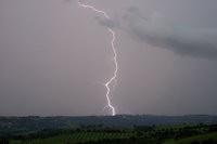
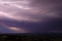
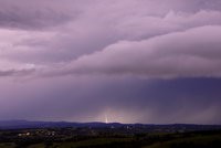
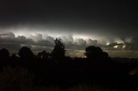
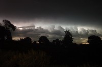
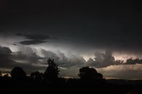
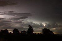
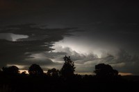
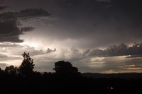
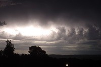
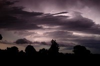
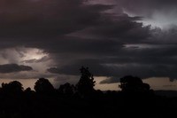
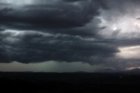
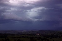
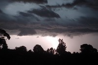
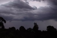
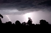
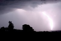
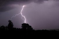
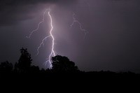
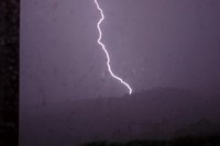
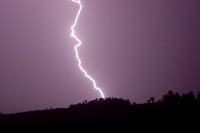
A high precipitation supercell passed through the western parts of the Northern Rivers district on 29 December 2008. I was unable to chase but had a nice display of lightning including numerous anvil crawlers when I got home to McLeans Ridges. The twilight resulted in some interesting colours.
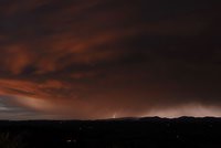
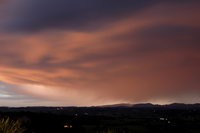
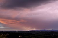
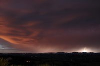
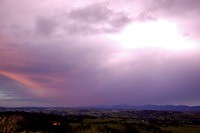
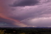
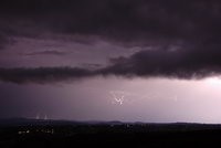
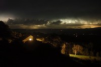
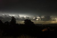
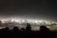
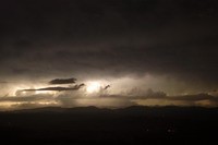
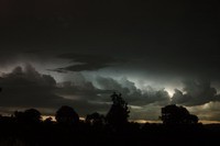
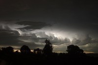
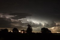
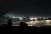
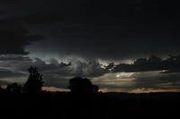
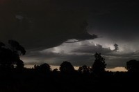
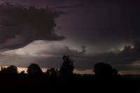
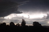
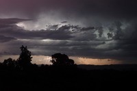
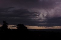
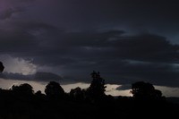
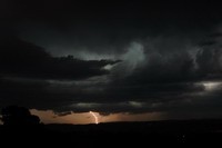
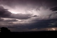
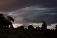
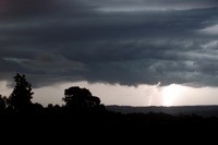
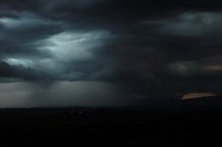
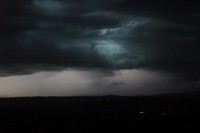
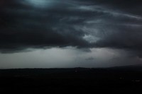
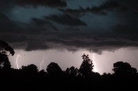
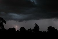
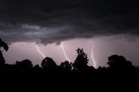
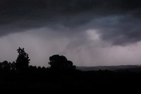
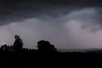
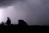
One of the most oppressive days I can recall with a maximum temperature of 35C and dew point of 25C. Add some mid level cloud and light winds and it's as bad as it gets. At least the evening was good! Severe storms spread into the region from the Darling Downs / Granite Belt region of Southeast Queensland. This is unusual as storms do not often head ESE. I observed this line if storms between 10pm and midnight on 1st January 2009. The thunderstorm winds were destructive in many parts of the Northern Rivers region with lots of trees brought down and roads blocked. I estimate the gusts reached about 110km/h at my home.
|