|
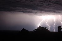
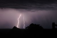
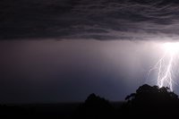
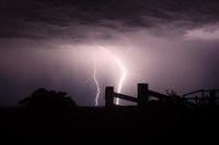
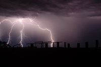
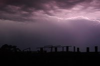
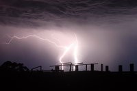
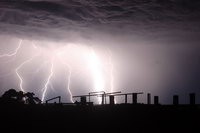
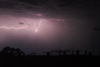
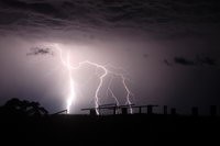
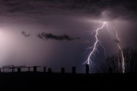
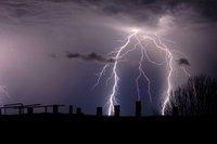
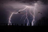
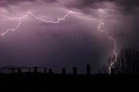
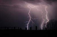
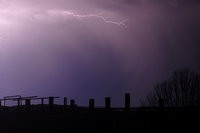
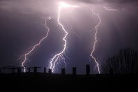
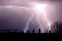
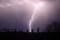
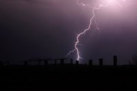
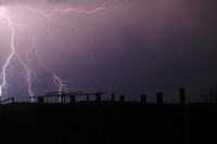
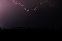
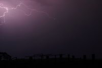
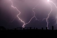
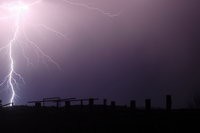
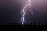
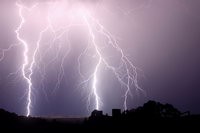
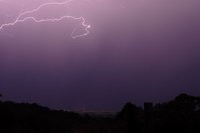
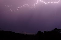
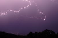
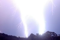
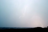
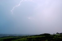
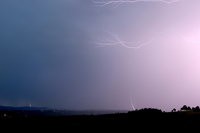
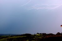
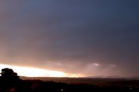
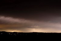
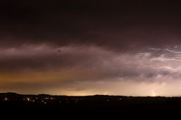
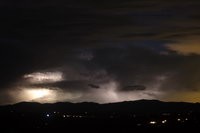
This day in mid September 2008 was marked by severe thunderstorms affecting mainly the ranges and into the western parts of Brisbane. After the early activity had died down high based thunderstorm activity developed southwest of Lismore. This storm goes down as one of the most active I have seen for one cell with the shear number of staccato lightning bolts it pumped out. I didn't have time to get into the most ideal position to take these photos but it didn't matter too much ! As you can tell from the last photo in the sequence, it got too close and was time to leave....
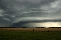
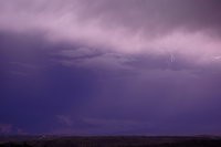
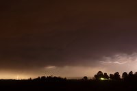
Severe storms between Whiporie and Casino became outflow dominant with a spectacular shelf cloud structure observed east of Casino. A few CGs were observed before the line weakened very quickly.
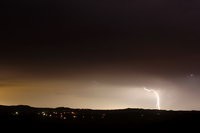
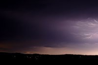
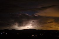
Widespread severe storms affected most of NE NSW and SE QLD on 20 November 2008 - particularly the Brisbane region. This lightning was observed from home at McLeans Ridges. A feature of this evening was the high number of anvil crawlers - which are quite difficult to capture on camera due to covering most of the sky and the dramatic variability with how bright they are.
|